Village Gallery
This photographic tour of Chipstead attempts to capture the essential features of the village with its setting in the surrounding countryside, and the effects of changing light and seasons.
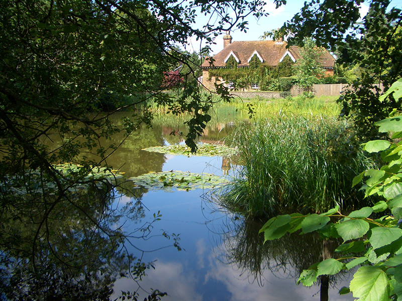
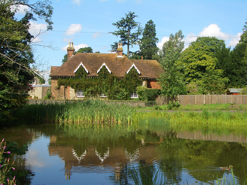
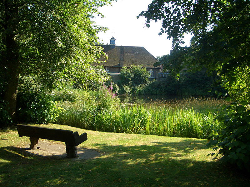
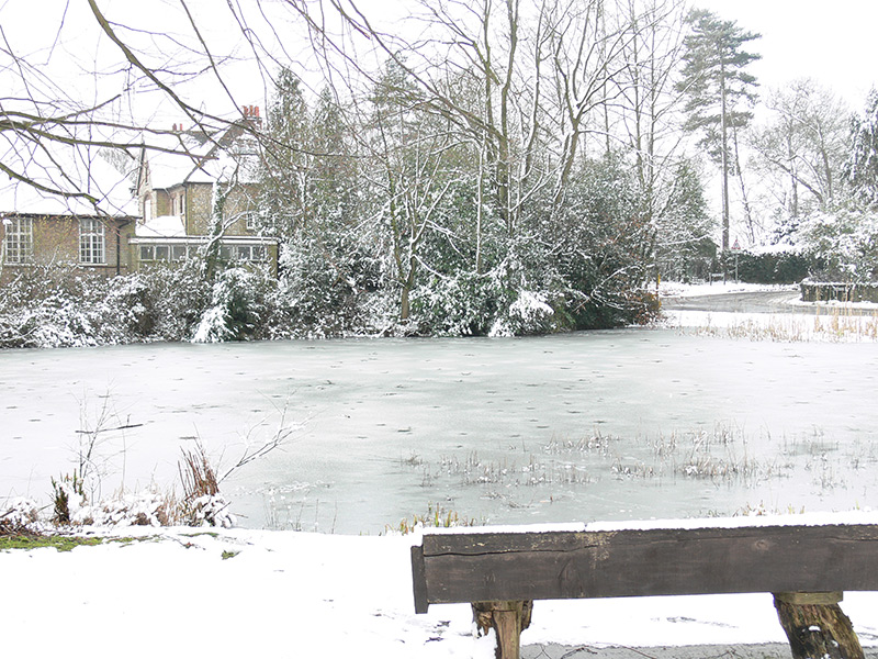
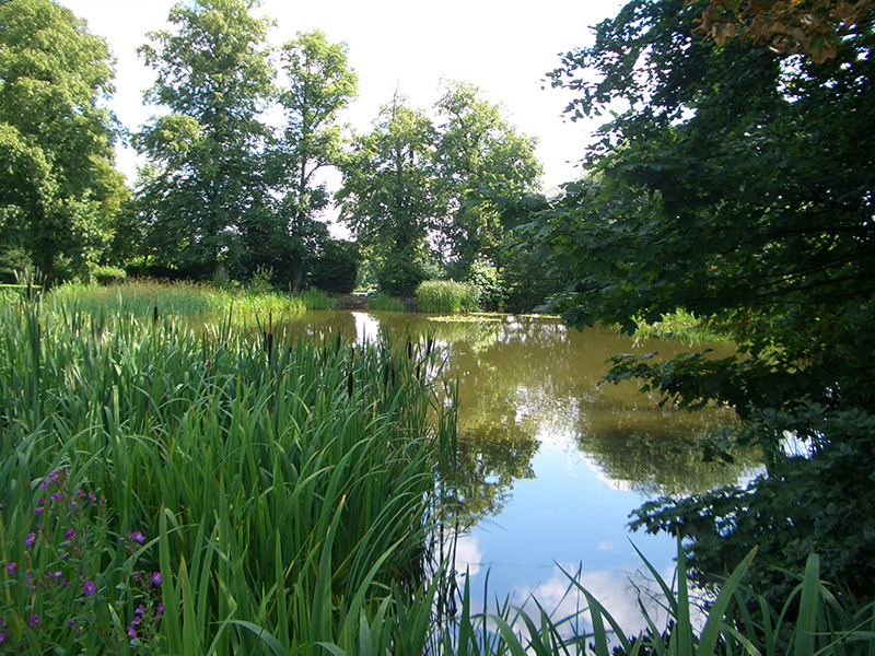
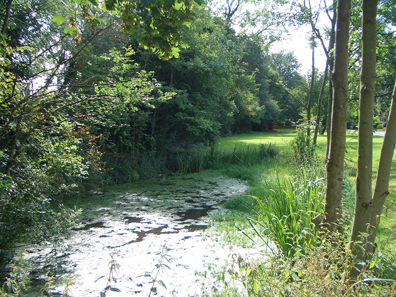
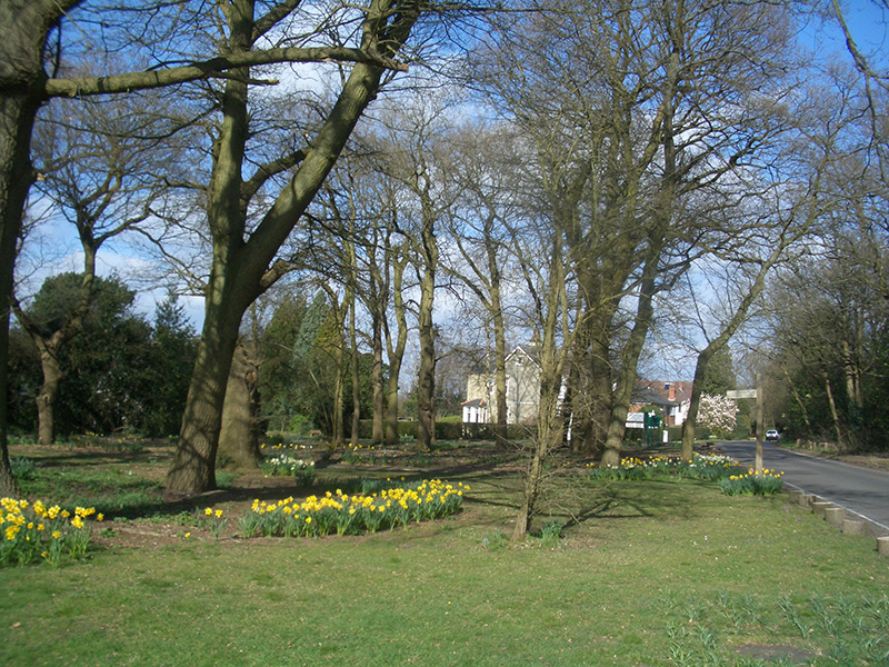
Elmore Pond
Our tour begins at Elmore Pond which has always been a lovely spot in the heart of the village. It can be argued that Chipstead owes its birth to this pond, which was used for many centuries as a watering place for cattle and sheep being driven to markets in London.


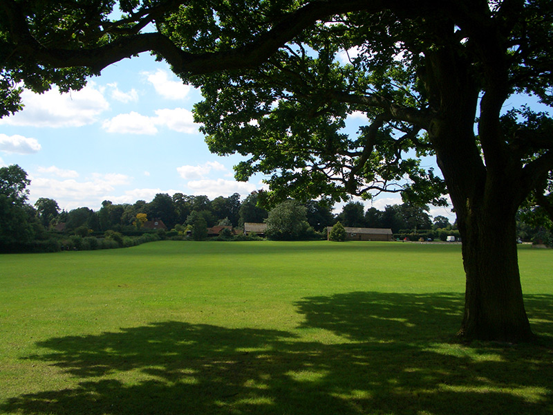
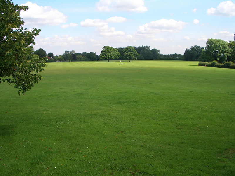
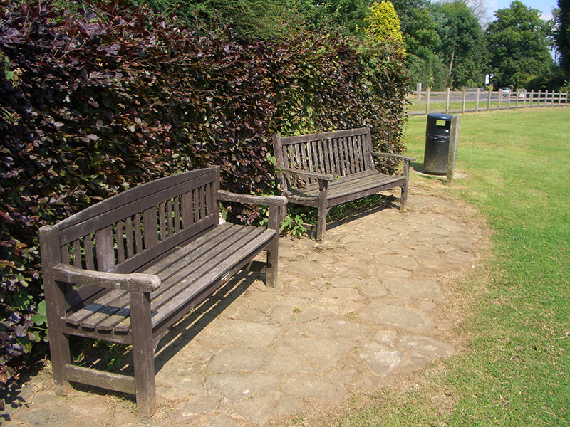
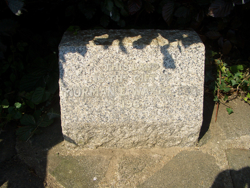
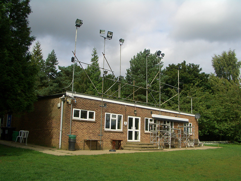
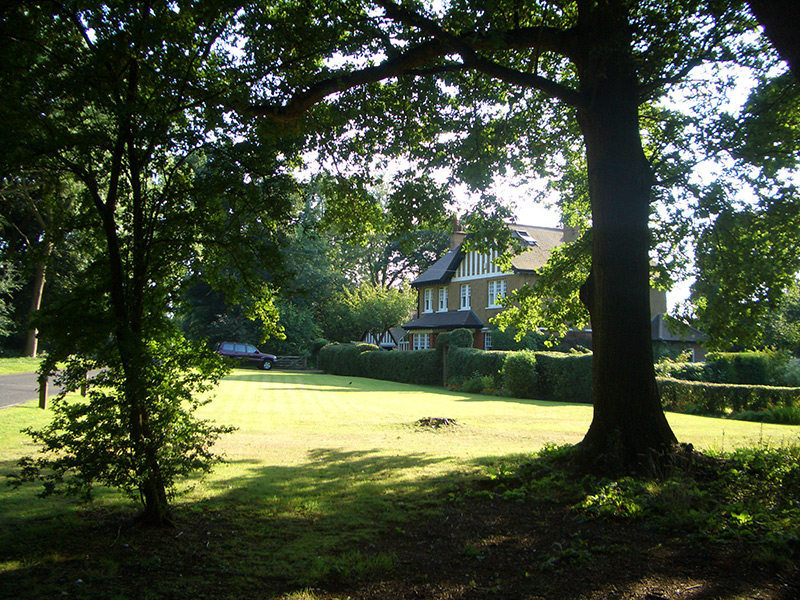
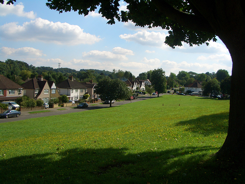
Chipstead Meads
In 1964 two fields known as Gatefield and Hartfield were given to the Banstead Urban District Council by the Stoddart family of Longshaw and the Wates family of Elmore for use as public open space and playing fields. This delightful open space in the centre of the village became Chipstead Meads. Part of the Meads is used by the Chipstead Rugby Football Club in winter months.
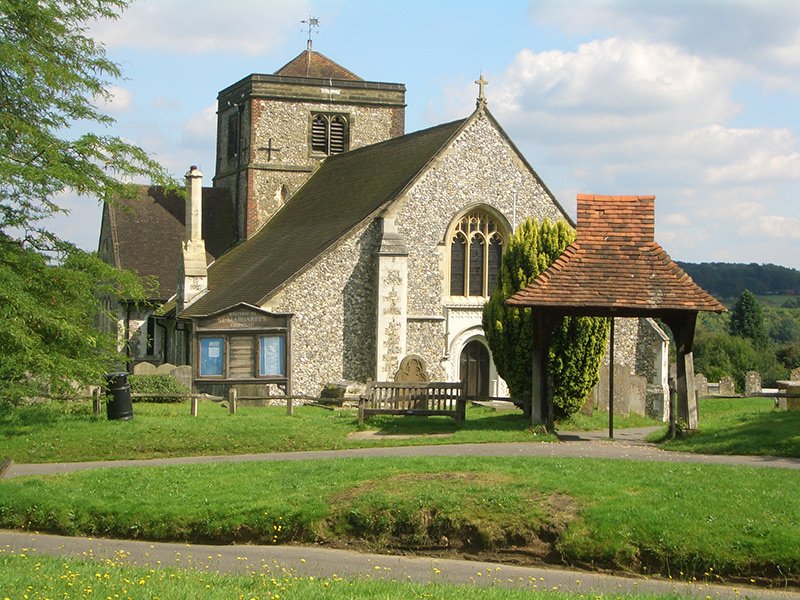
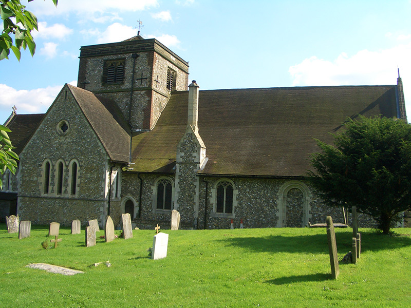
St Margaret’s Church
St Margaret’s Church has occupied its present site at the eastern edge of the parish for over 1000 years. From the reign of King John to the 15th century, the church was significantly enlarged, resulting in a rather magnificent church for a thinly populated downland parish. The church was completely restored in the 19th century with additional seating and structural improvements.


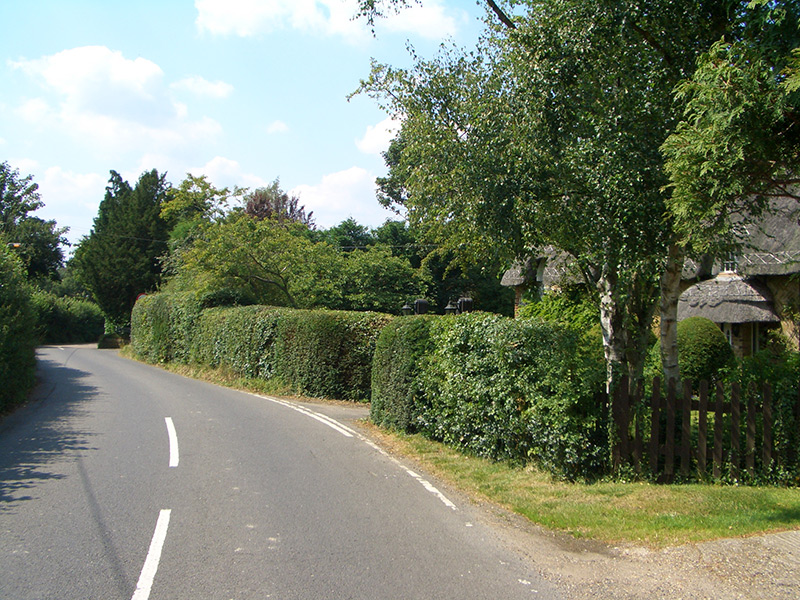
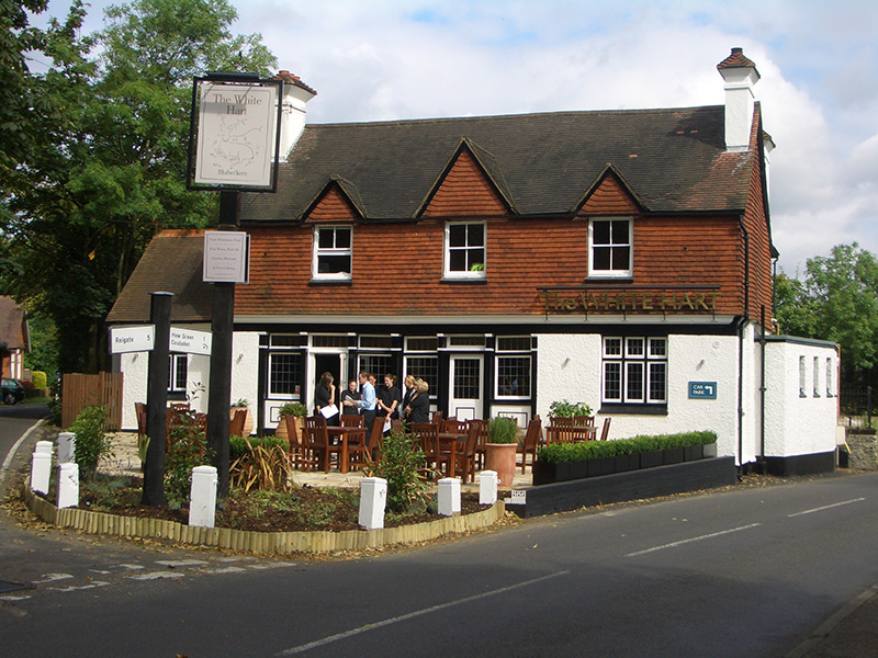
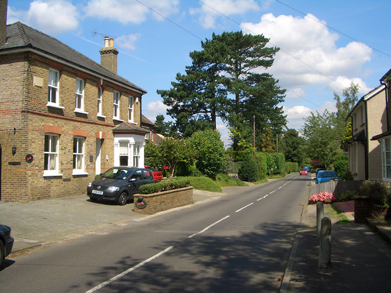
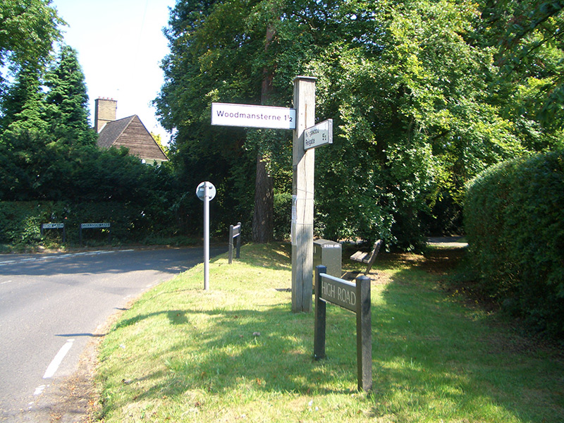
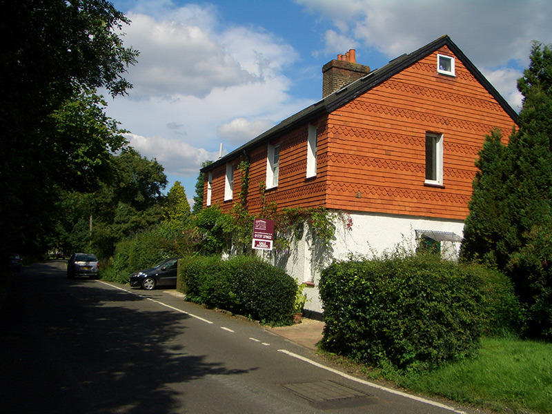
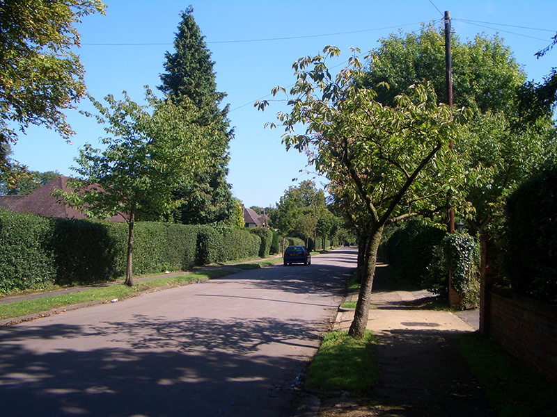
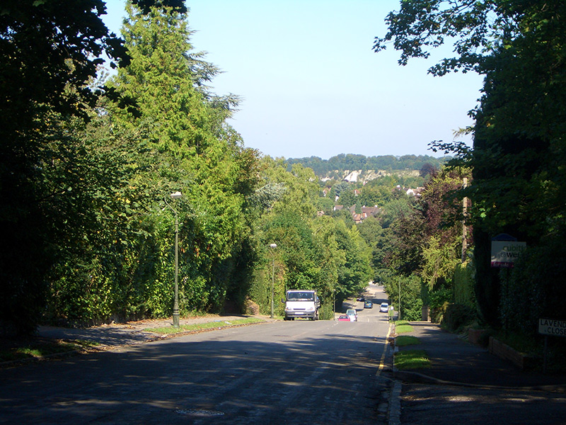
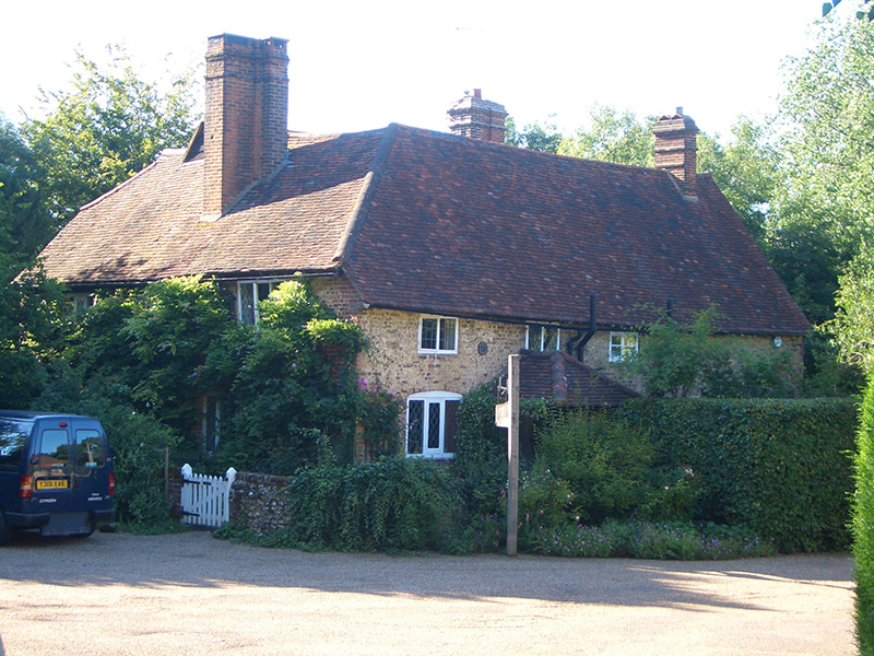
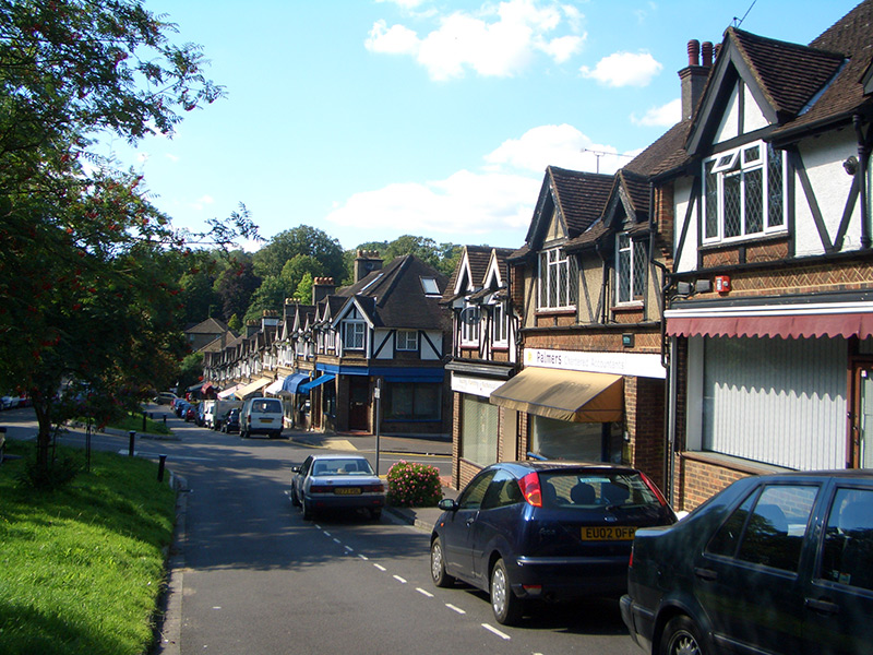
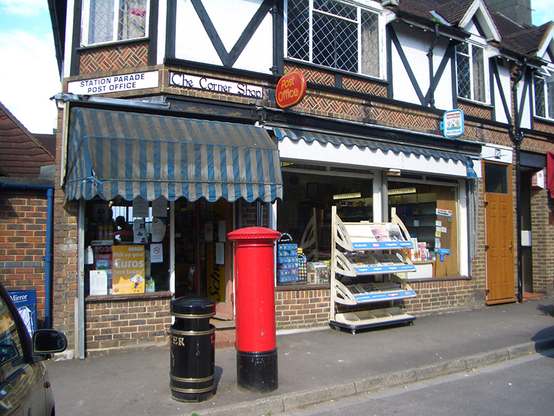
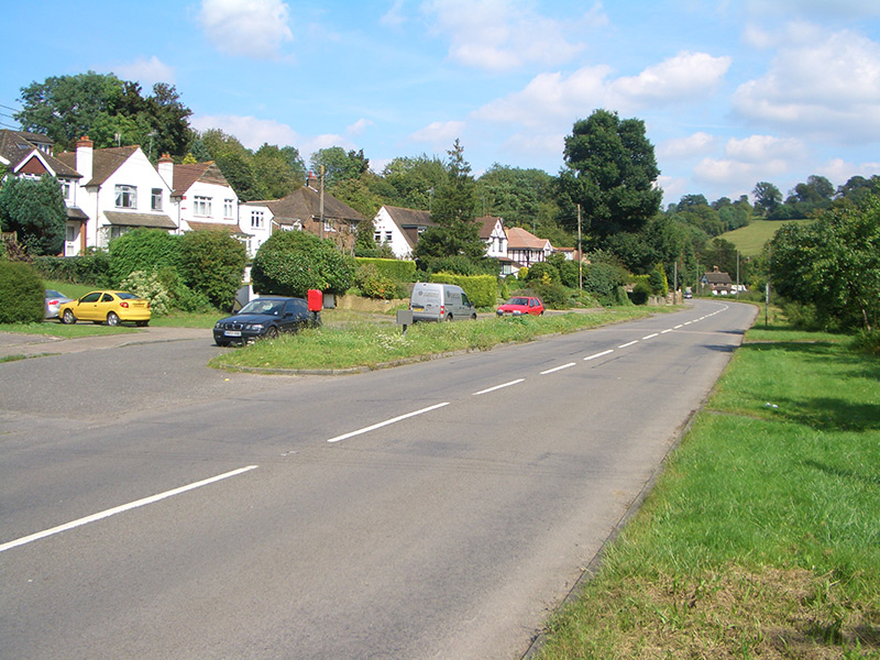
High Road
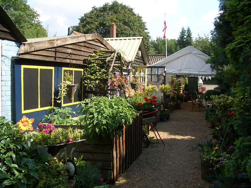
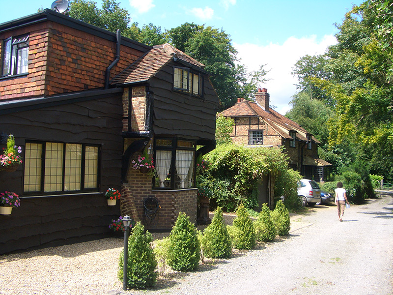
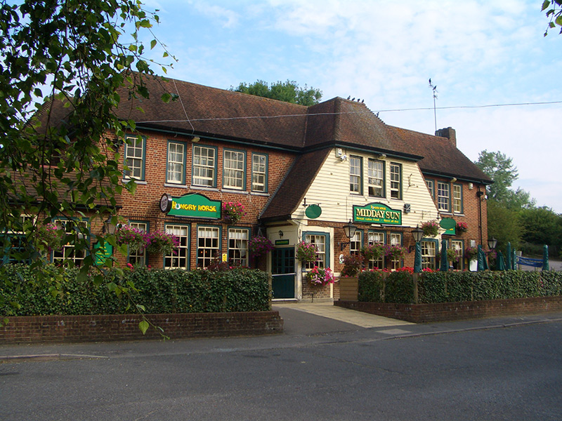
High Road is an ancient artery through the heart of village, used for centuries by cattle and sheep drovers. We shall follow the drovers from south to north, with a few interesting diversions on route, including Fanny’s Farm shop, much loved by Chipstead residents.


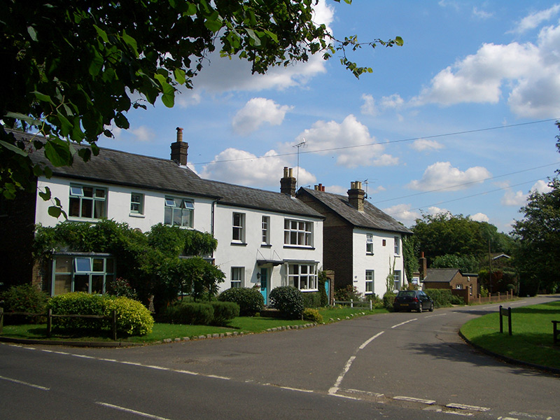


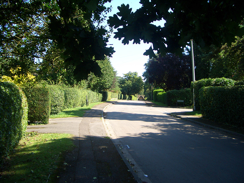
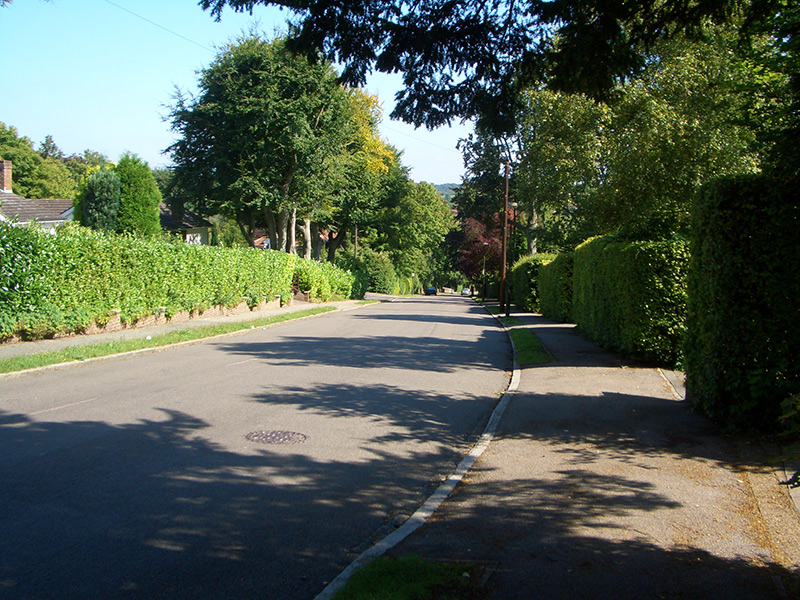
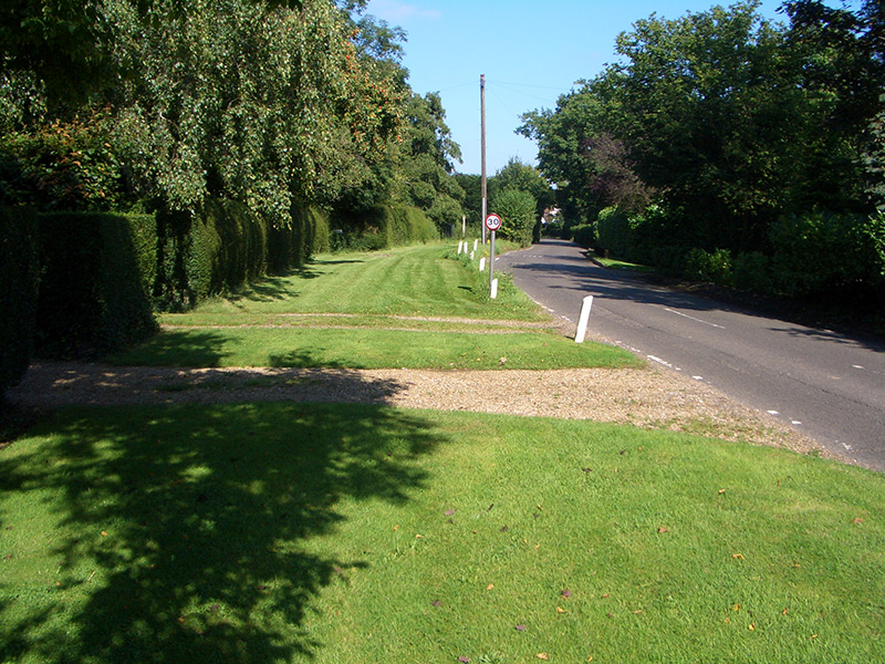
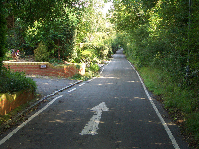
How Lane
Another ancient road which continues the High Road to the north, down into the Chipstead valley.

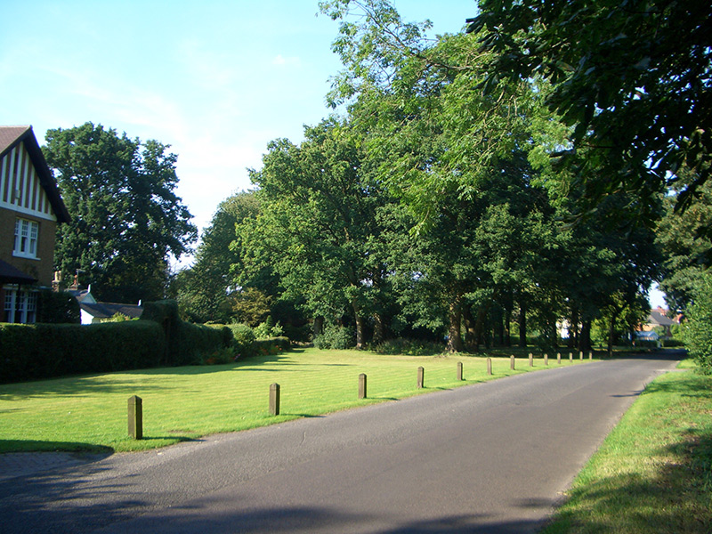
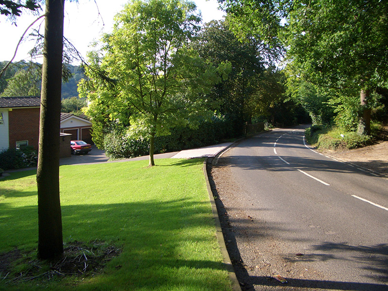
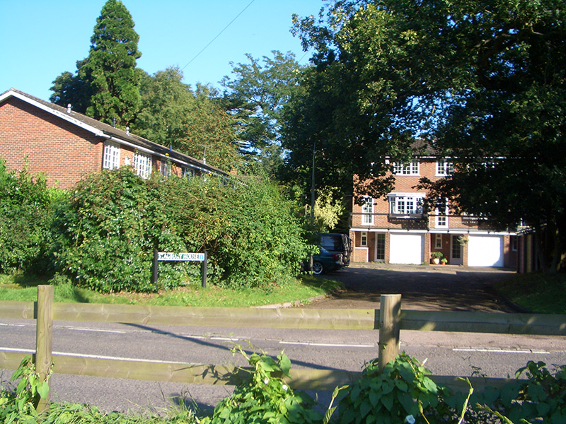
Northern Chipstead
The northern part of Chipstead was mainly developed between the two World Wars. Hollymead Road forms the boundary between the parishes of Woodmansterne and Chipstead in Surrey, and the area around Hollymeoak Road lies in Coulsdon, part of the London Borough of Croydon.
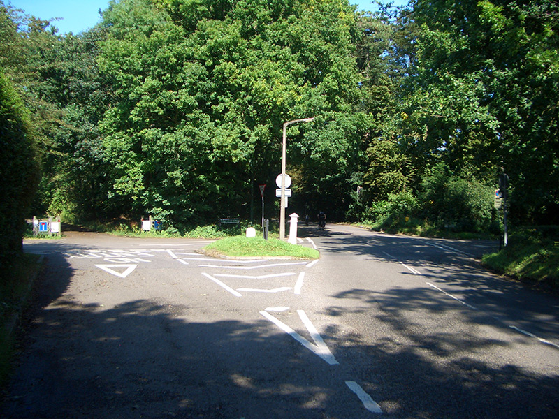
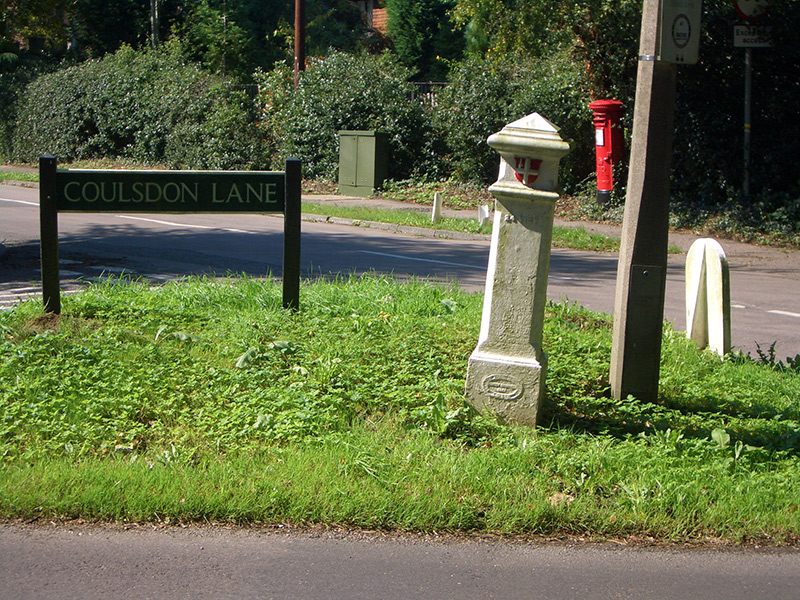
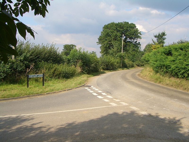
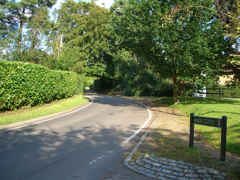
Coulsdon Lane
Coulsdon Lane forms the eastern boundary to Neale’s field, connecting High Road with Hollymead Road.

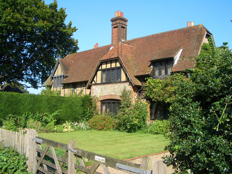
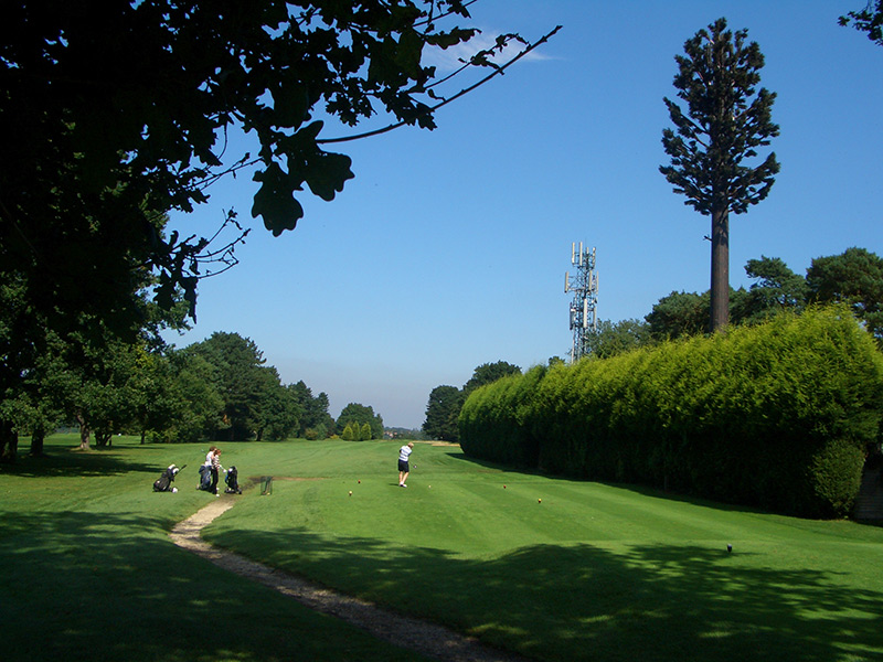
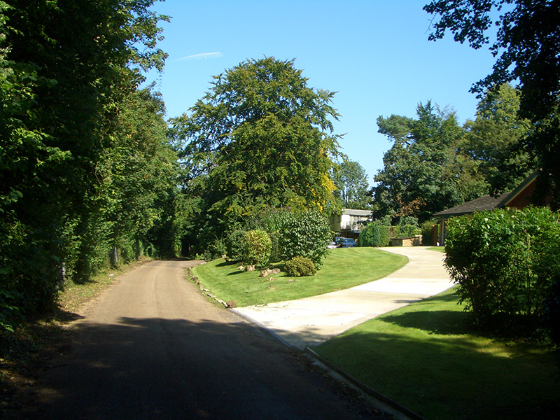
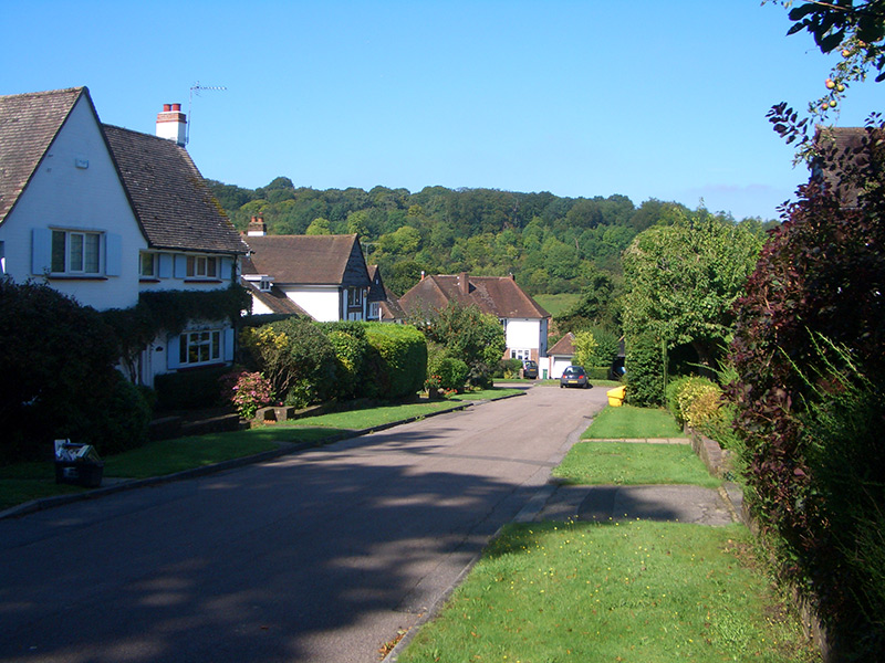
The Stagbury estate
On Outwood Lane stood Stagbury House, a delightful 18th century mansion with an estate running along the Chipstead valley rising up to How Lane, and home to the Walpole family. This estate was developed from 1895 with the addition of the Tattenham Corner railway, Chipstead golf course and residential property.
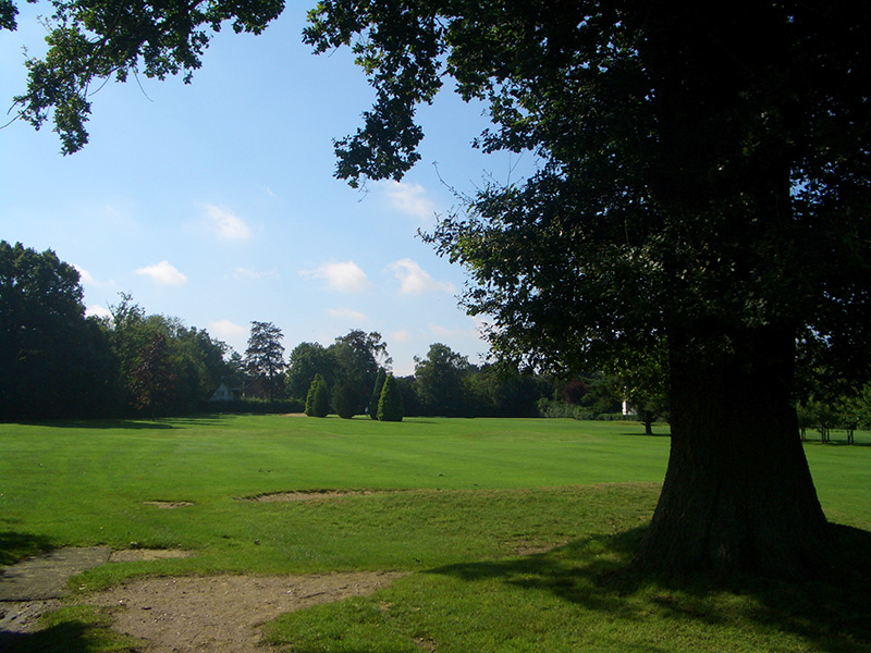

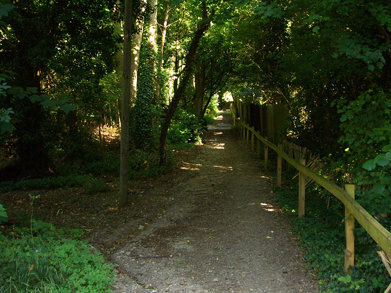


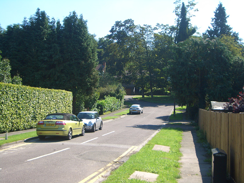


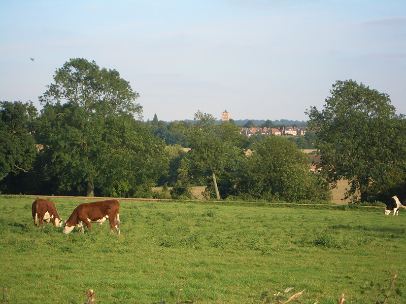
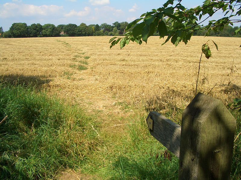
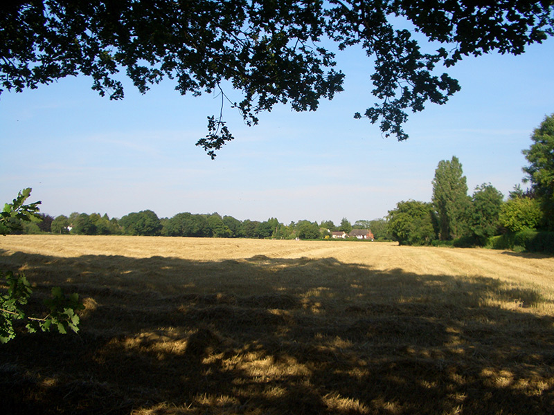
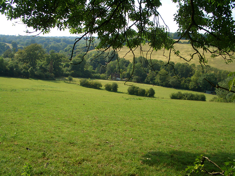
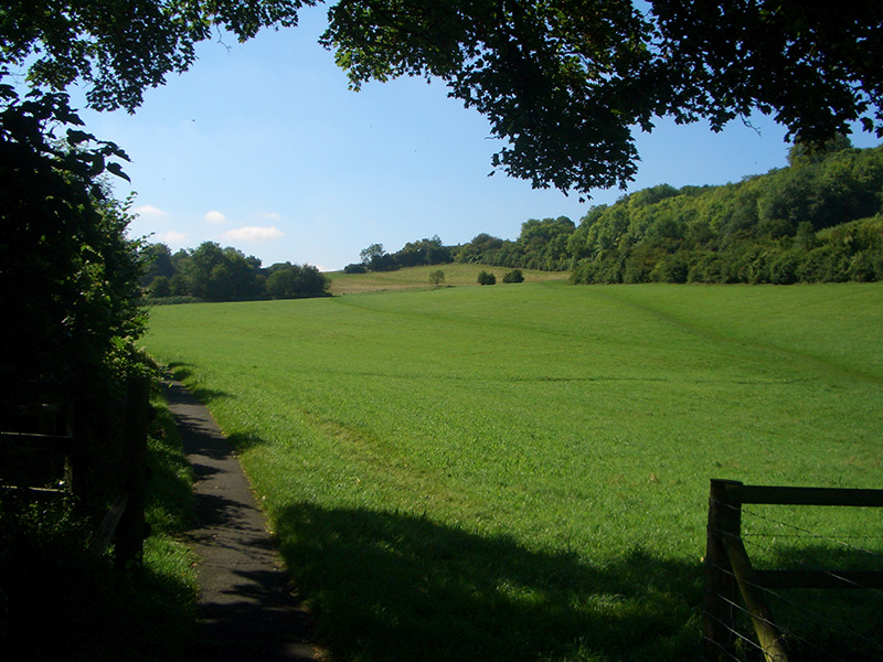
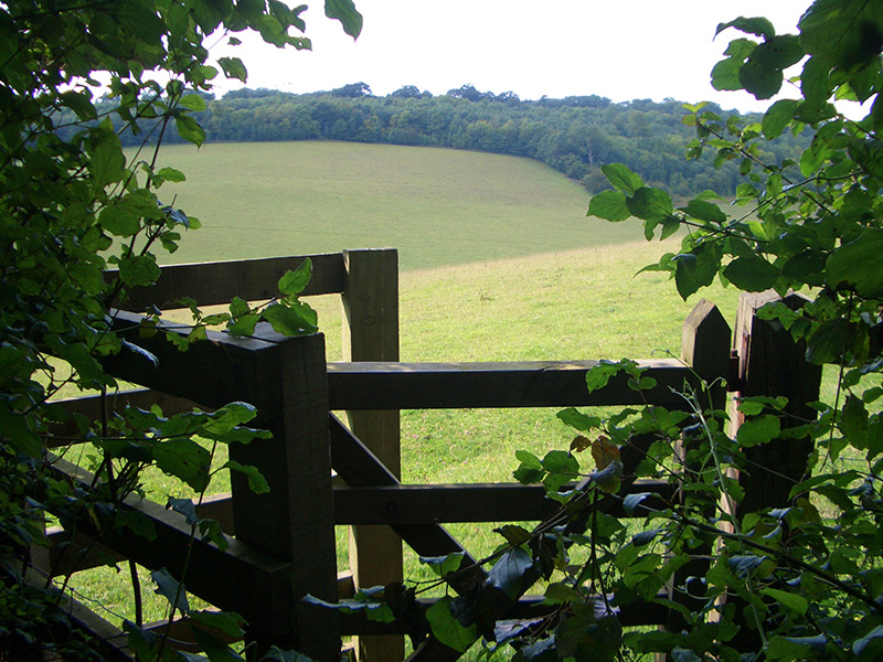
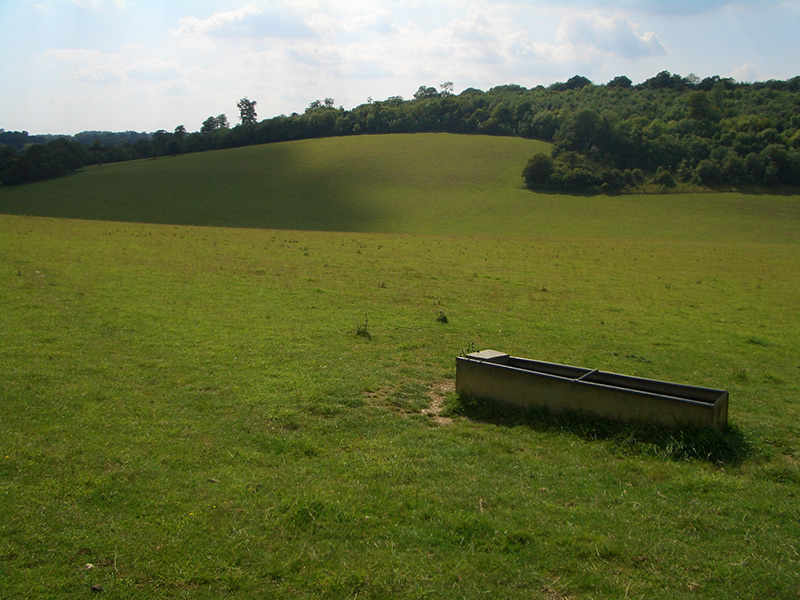
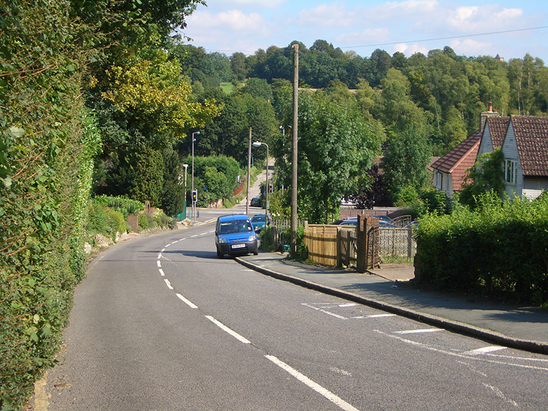
The Chipstead valley
The Chipstead valley is a lovely open space of rolling downland, threaded by the Tattenham Corner railway and containing part of Banstead Wood and fields for sheep grazing.

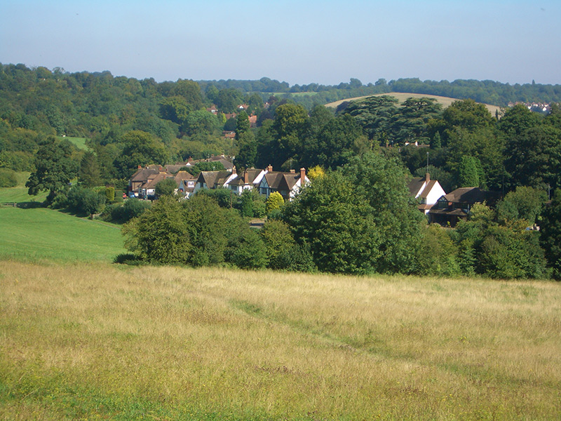

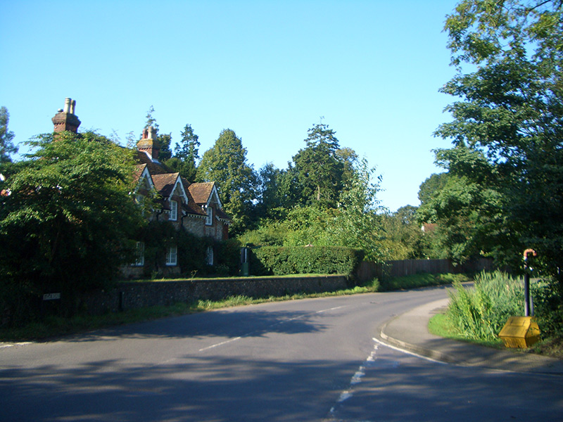
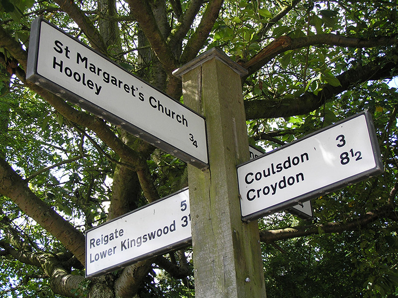
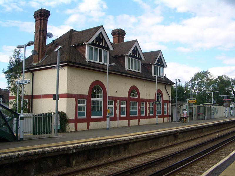
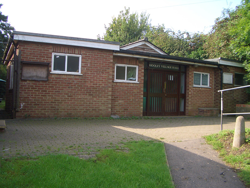
Hooley
Hooley occupies the eastern section of the parish of Chipstead near the Brighton Road, and below St Margaret’s Church.
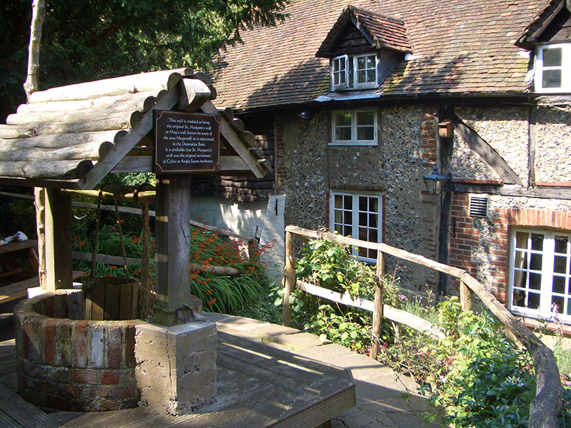
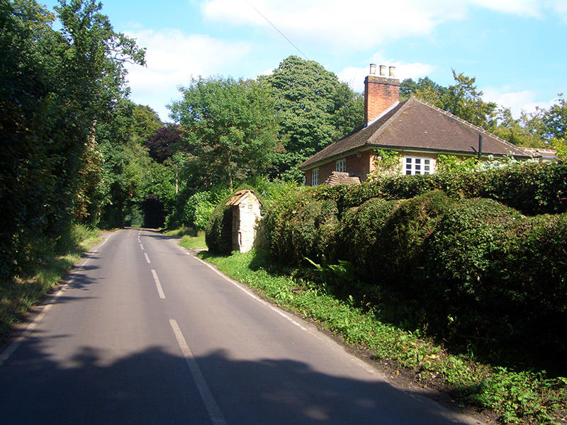
Mugswell
Mugswell, to the south of the parish of Chipstead, originally had a larger population than what is now regarded as Chipstead village to the north. The rectors of St Margaret’s Church used to live in the old rectory at Mugswell, with a journey of over two miles to the church! The name Mugswell may be derived from St Margaret’s well or Mag’s well.