Chipstead Village

Surrey

Then and Now

This section provides a fascinating comparison between past and present, and the changing seasons. The modern photographs have been carefully taken, where possible, from the same position and angle as the historic images.
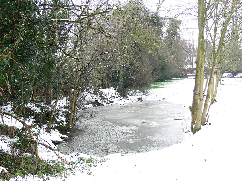
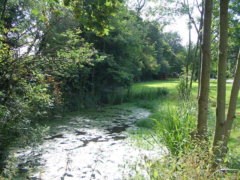

Elmore Pond

Elmore pond, circa 1905
Elmore pond, 2007
Elmore pond, 2007
Elmore pond, circa 1910
Elmore pond, 2007
Elmore pond, 2007
Elmore pond, winter 2007
Elmore pond, summer 2007
Elmore pond, September 1980

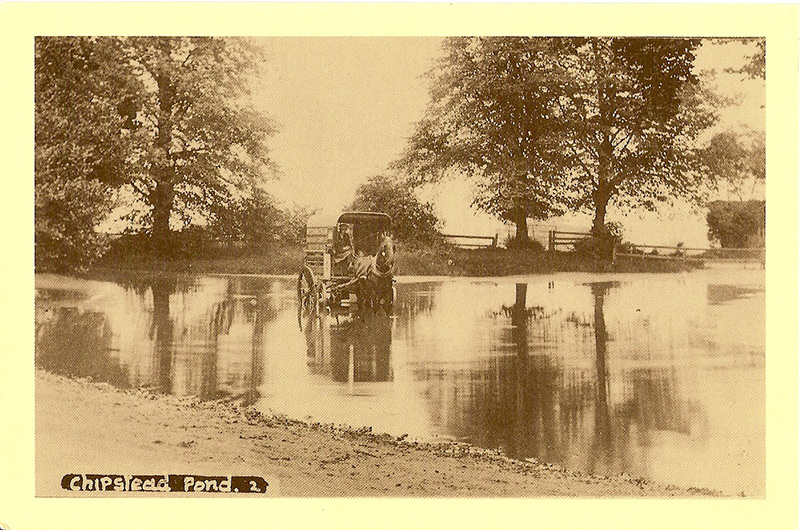
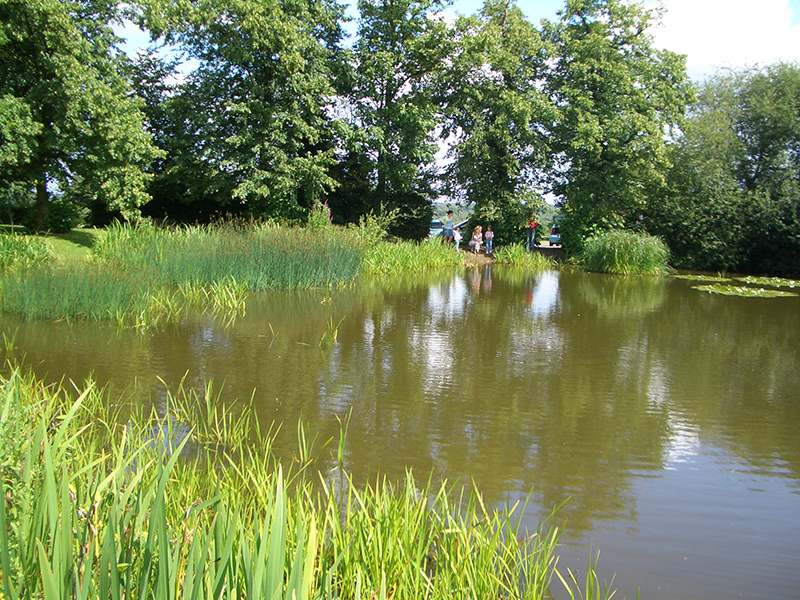
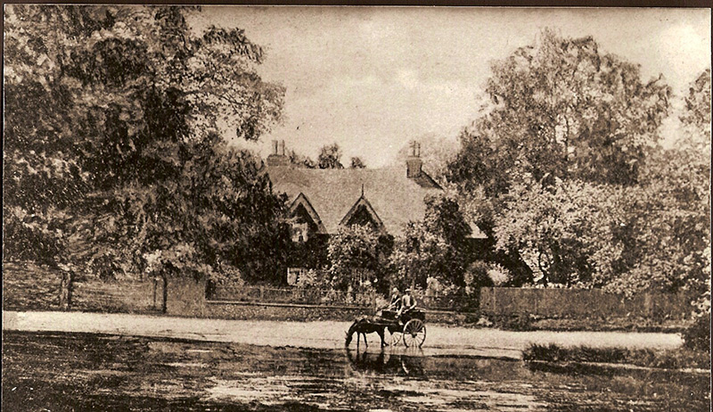
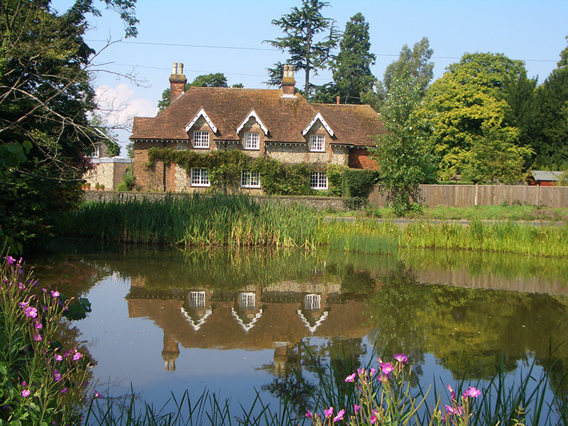
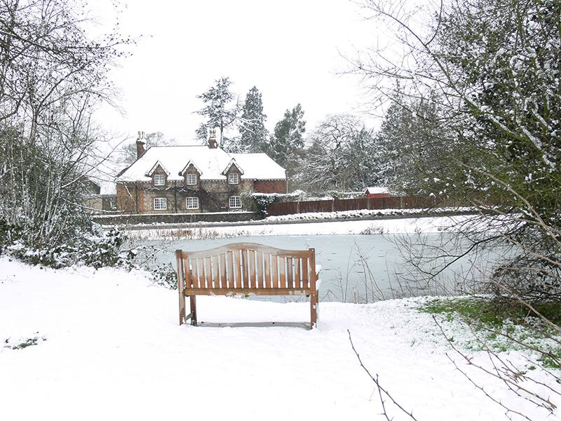
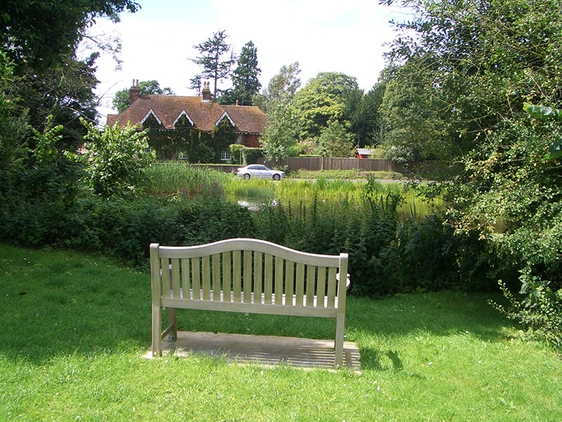
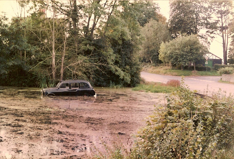
Elmore Pond has always been a lovely spot in the heart of the village. The 1905 photograph looks towards what is now Chipstead Meads. One hopes that the horse and cart driver in 1905 has not made the same mistake as the taxi driver in 1980! The 1910 photograph shows the cottages of the former Elmore Pond Farm, now a single residence. The pond normally receives a coating of ice in winter.


Chipstead Meads

Chipstead Meads, looking south towards the bowling club, winter 2007
Chipstead Meads, looking south towards the bowling club, summer 2007
Chipstead Meads car park, looking north east towards Coulsdon, winter 2007
Chipstead Meads car park, looking north east towards Coulsdon, summer 2007
Children’s playground at King Edward’s Green, winter 2007
Children’s playground at King Edward’s Green, summer  2007
Children’s playground at King Edward’s Green, summer 2007
Vincent’s Green pond with a coating of ice, winter 2007
Vincent’s Green pond, summer 2007
The ‘White Hart’ public house on High Road, circa 1910
The ‘White Hart’ public house on High Road, 2007

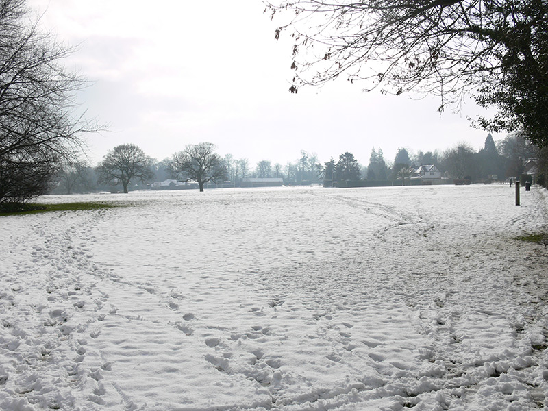
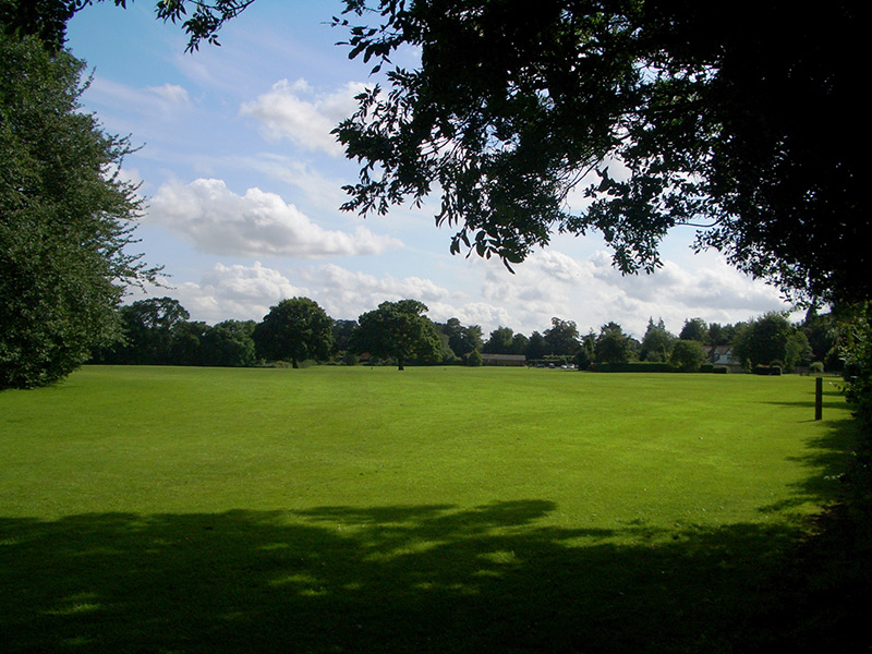
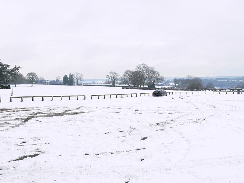
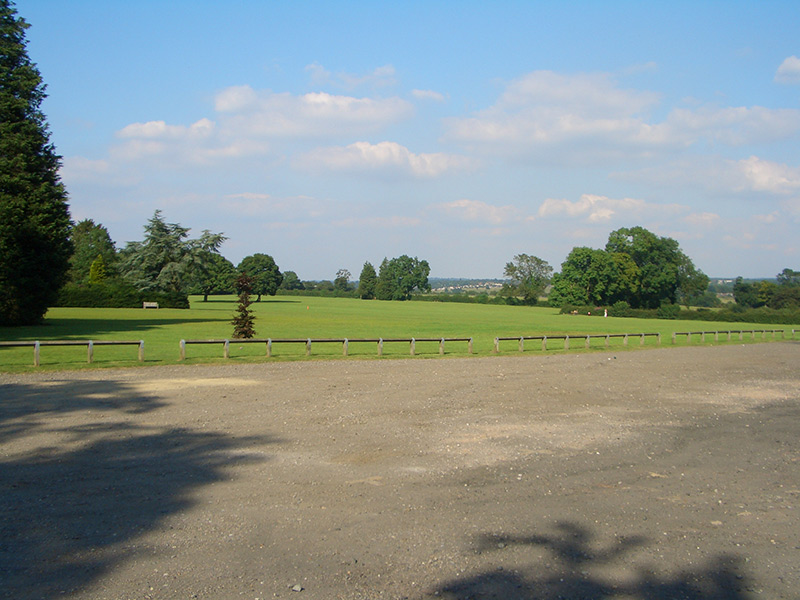
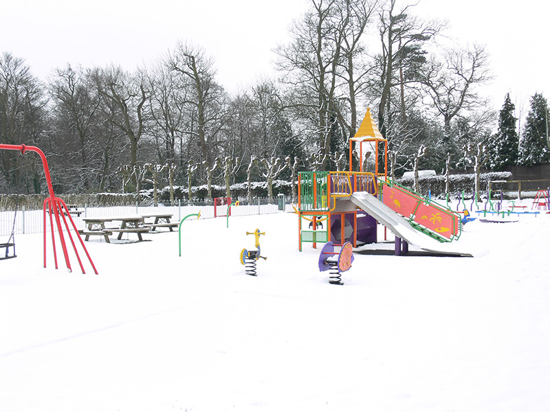
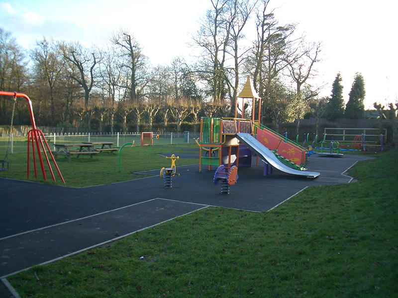
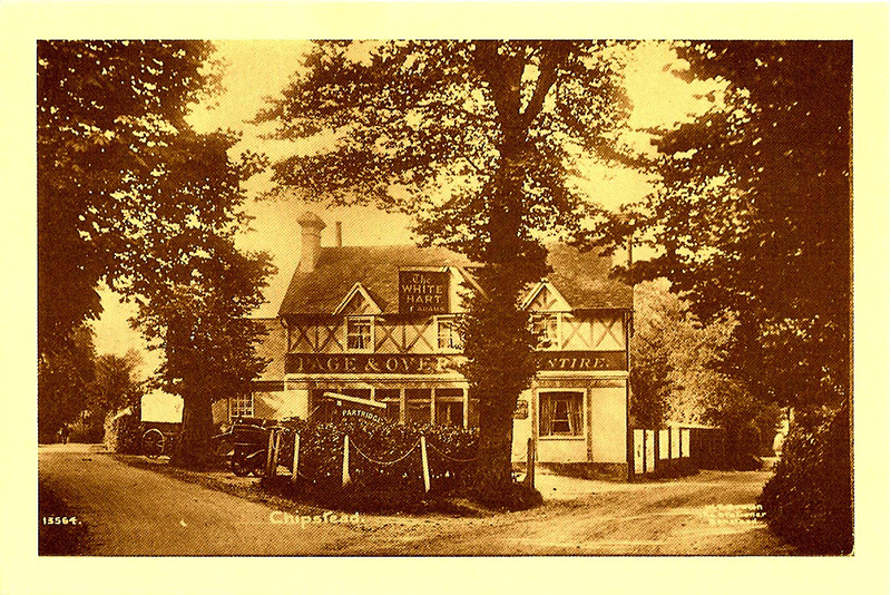
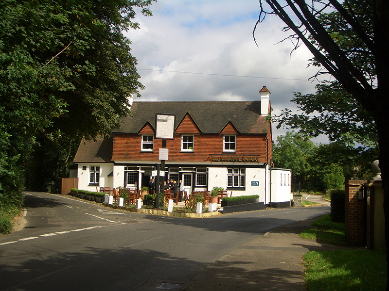
Chipstead Meads is a delightful open space in the centre of the village. It was created in 1964 when two fields were given to the Banstead Urban District Council by the Stoddart family of Longshaw and the Wates family of Elmore for use as public open space and playing fields. The adjacent King Edward’s Green was bought by public subscription in 1912 as a place where children could play, and equipped with swings and other amusements by the gift of Norman Wates in 1962. The ‘White Hart’ public house on High Road which overlooks Chipstead Meads, dates from 1775.


Chipstead Post Office

Chipstead post office, Shabden Cottages, circa 1910
Chipstead post office, Shabden Cottages, 2007
Chipstead post office, High Road, 1946
Chipstead post office, High Road, circa 1980
Chipstead post office, High Road, 2007
Chipstead post office, Station Approach, 2007

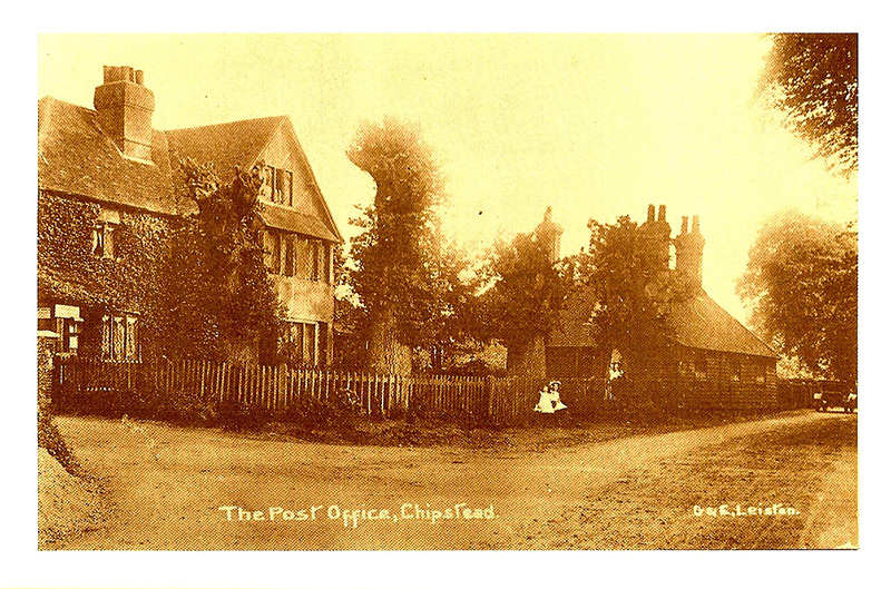
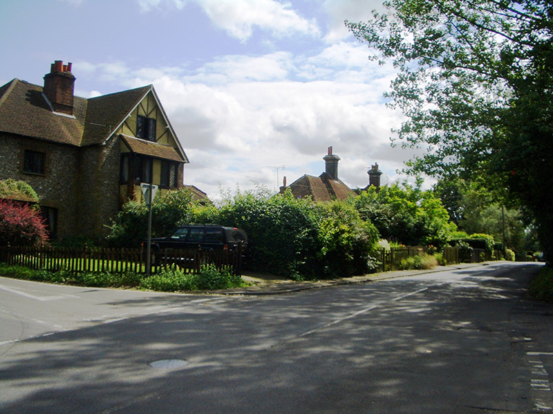
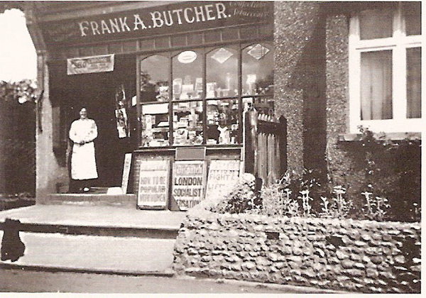
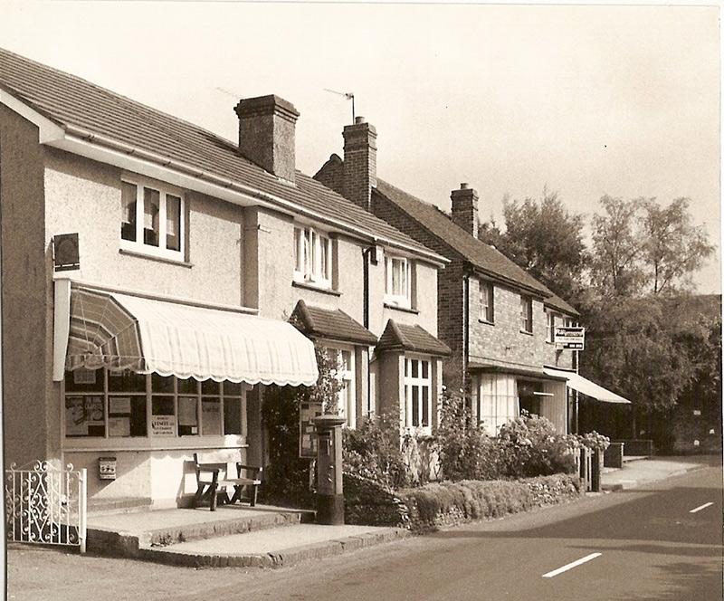
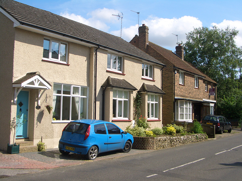
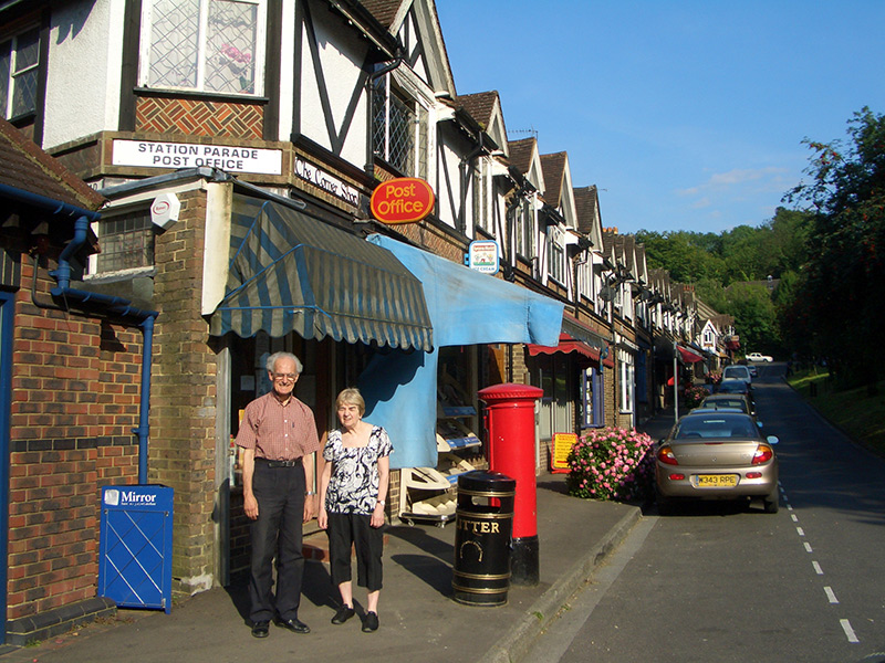
The 1910 photograph shows the former post office at the corner of High Road and Elmore Road, now part of Shabden Cottages originally built as staff accommodation for the Shabden estate. The 1946 photograph shows Mrs. Butcher standing outside the later post office and newsagents in High Road. This post office finally closed in 1983. The 1980 photograph shows the row of shops with Mr.Bradshaw’s fruit and vegetable shop on the right, the only surviving commercial property which is currently an office. The 2007 photograph shows George and Pat Jones outside their post office at the bottom of Station Approach, the only surviving post office in Chipstead.


St Margaret’s Church

St Margaret’s Church, circa 1820
St Margaret’s Church, 2007
St Margaret’s Church, Circa 1908
St Margaret’s Church, 2007
St Margaret’s Church, Winter 2007
St Margaret’s Church, Summer 2007

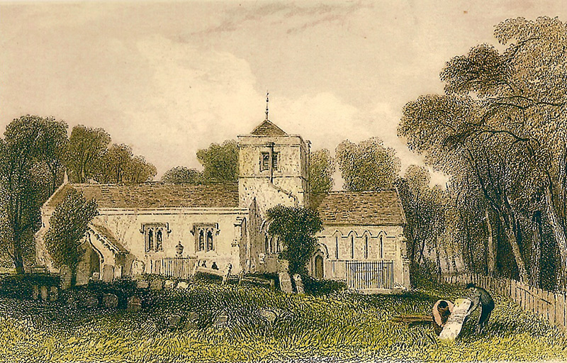
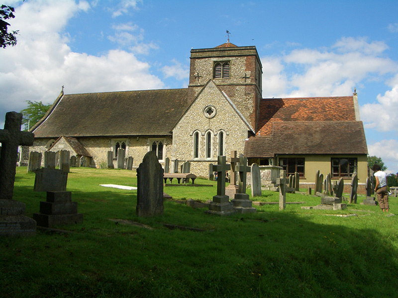
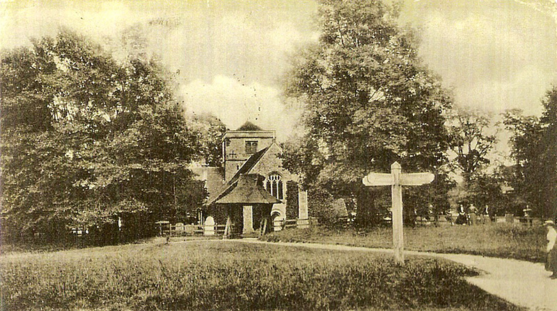
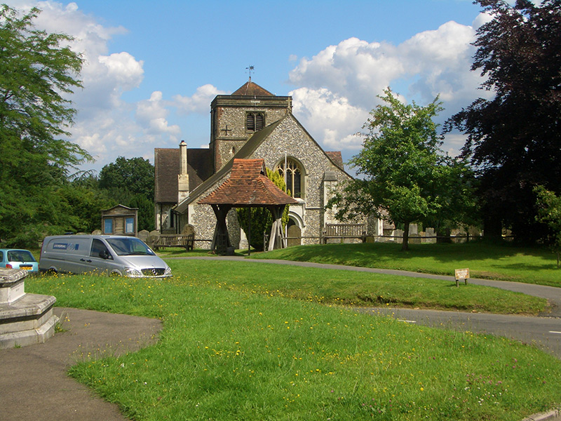
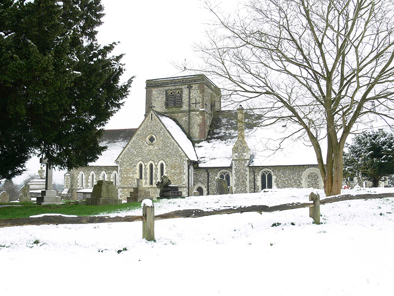
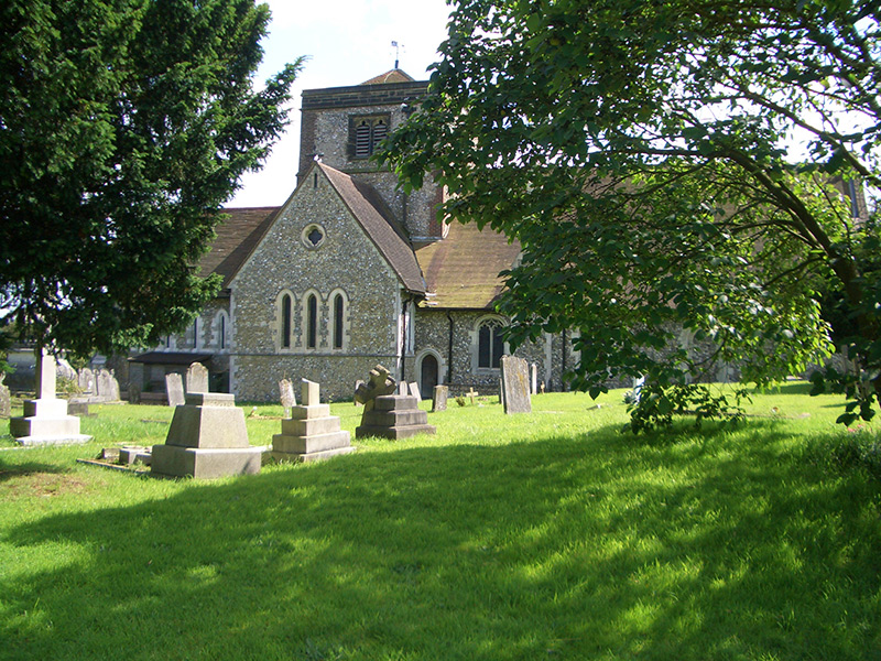
St Margaret’s Church has been at the centre of village life since medieval times. The coloured engraving of around 1820 shows the church before the extensive restoration work carried out by two Rectors, the Peter Aubertins, in the later 19th century. The 1908 photograph is taken from Church green before the erection of the war memorial.


Chipstead Golf Club

Chipstead Golf Club, circa 1910
Chipstead Golf Club, 2007. The view is now obscured by trees.
Chipstead Golf Club, circa 1970
New clubhouse, Chipstead Golf Club, 2007

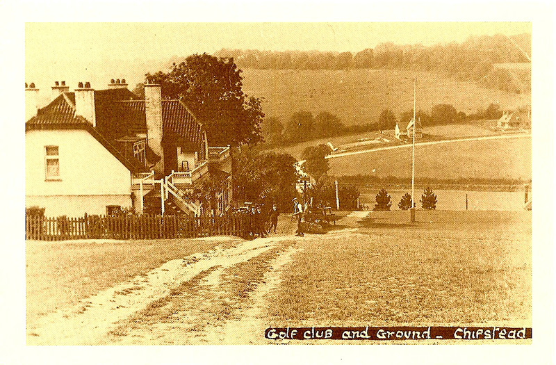
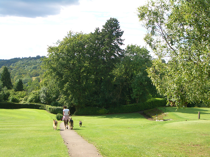
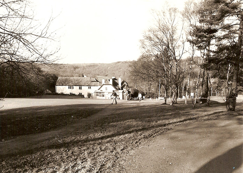
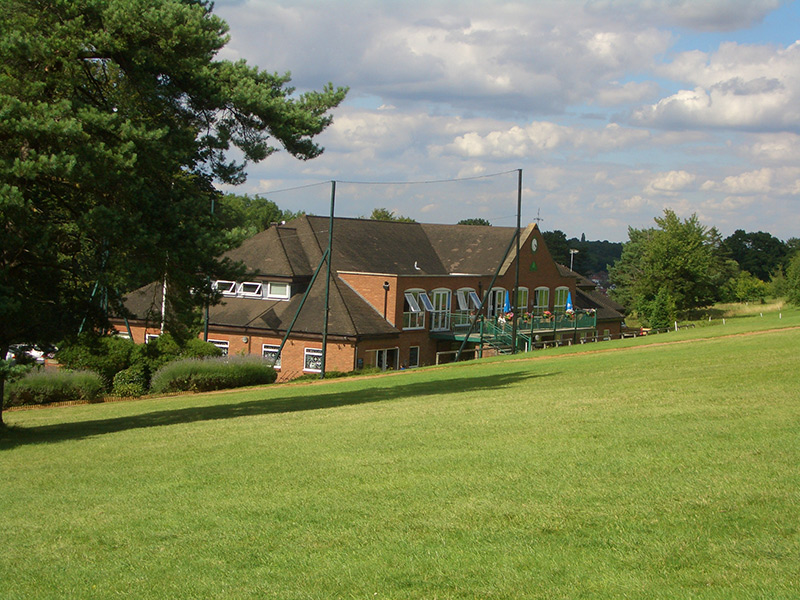
The photographs of 1910 and 1970 look across the Chipstead valley towards Court Hill, and show the old clubhouse on the left which was demolished in the 1990’s and replaced with a new larger clubhouse off the picture to the right. The 1910 photograph shows the beginning of property development in Court Hill, and an absence of properties along Outwood Lane and Station Approach. The 2007 view is almost completely obscured by trees.


High Road

High road near Ruffetts End, circa 1910
High road near Ruffetts End, 2007
High road near Ruffetts End, Circa 1900
High road near Ruffetts End, 2007

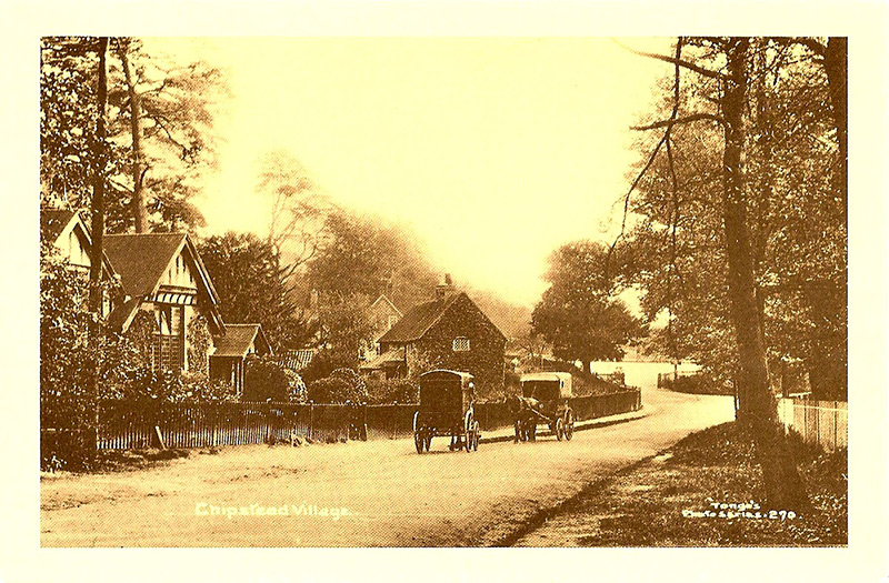
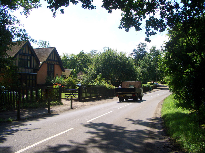
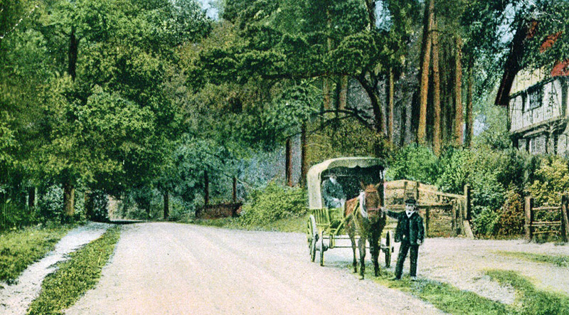
Perhaps these old photographs of the High Road, towards the south of the village near Ruffetts End, go some way to capture the gentle, bucolic atmosphere of Chipstead before the First World War. The 1910 photograph looks south to the Old Reading Room and the Village School (through the gates at the far left) which have all been re-developed as private properties. The coloured photograph of 1900 looking north shows a post office delivery cart.


Chipstead Railway Station

Chipstead railway station, circa 1900
Chipstead railway station, 2007
Flats in the former railways goods yard, now Hazel Way, 2007
Vehicle workshops near Chipstead railway station, Hazel Way, circa 1980
Flats at the former vehicle workshops near Chipstead railway station, Hazel Way, 2007

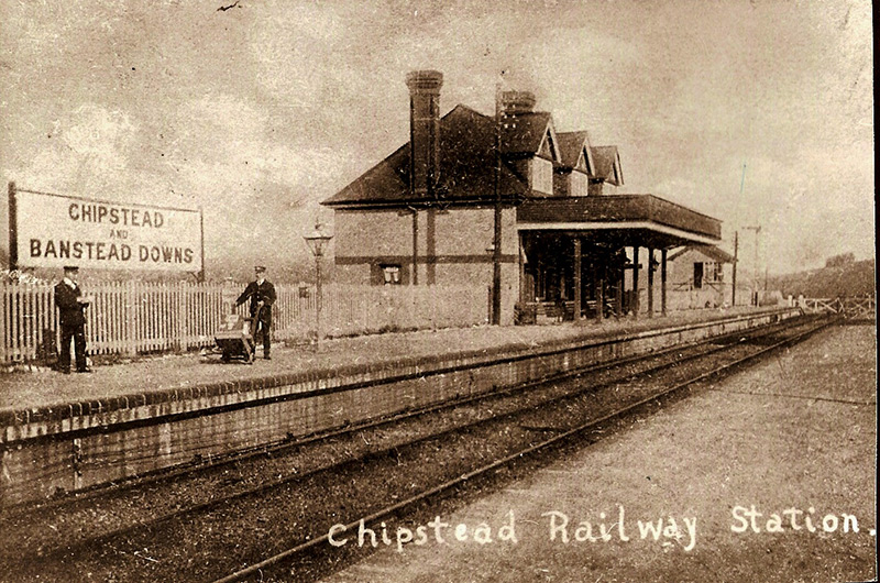
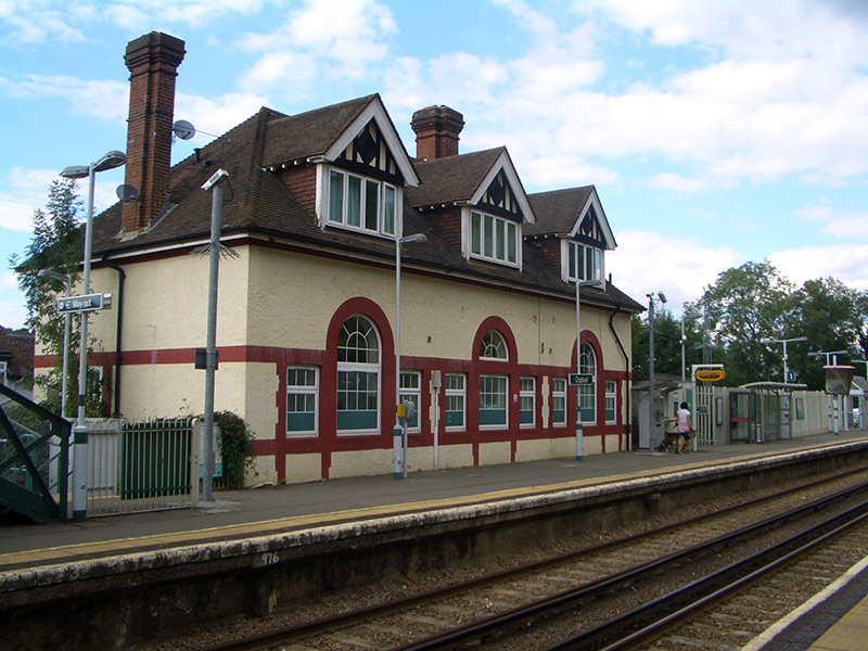
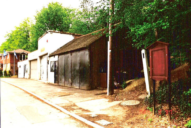
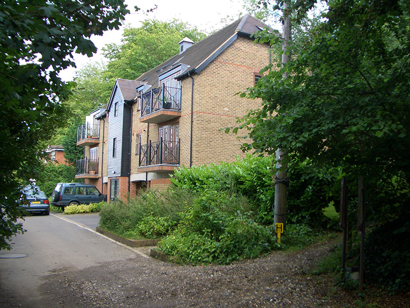
Rapid and convenient access to central London was provided by the opening of Chipstead station in 1899. This significant event provided the stimulation for extensive property development over the next 40 years and transformed the village into the residential area we see today. The 1900 photograph shows the then ‘Chipstead and Banstead Downs’ station fully staffed with porters! The level crossing at the right allowed access to Hazel Way, near the former railway goods yard, which in 1995 was developed into blocks of flats, the first to be built in Chipstead. The station is now divided vertically into residential properties. The convenient vehicle repair workshops on Hazel Way next to the station were developed as flats in 1999.
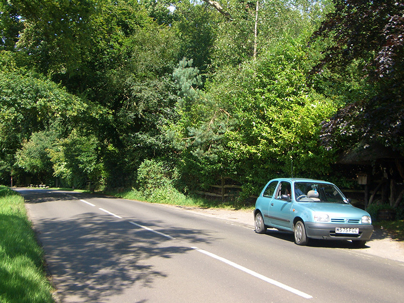

Chipstead Valley

Chipstead railway station from Station Approach, circa 1905
Station Approach, 2007, with Lackford Road on the left of the picture
Looking east across the Chipstead valley from Park Road, circa 1907. Note the lack of trees
Looking east across the Chipstead valley from Park Road, 2007. The view is now obscured by trees
The bottom of How Lane, circa 1930. Note the open staircase on the bus
The bottom of How Lane, 2007
Bus stop outside the Midday Sun public house for the 166 service
Cyclists in Stagbury Beeches, now Hazlewood Lane, circa 1910
Hazlewood Lane, 2007.  The railway bridge is at the top of the road
Hazlewood Lane, 2007. The railway bridge is at the top of the road

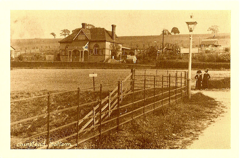
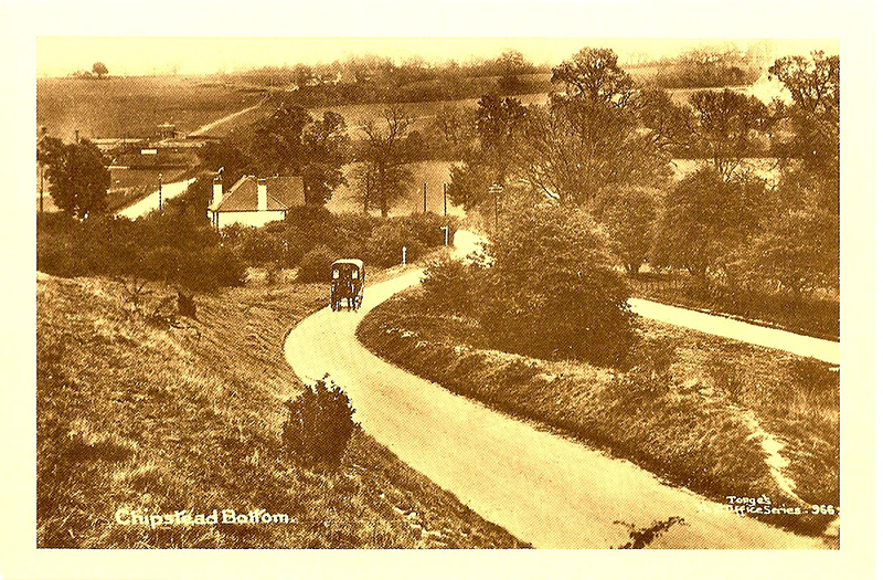
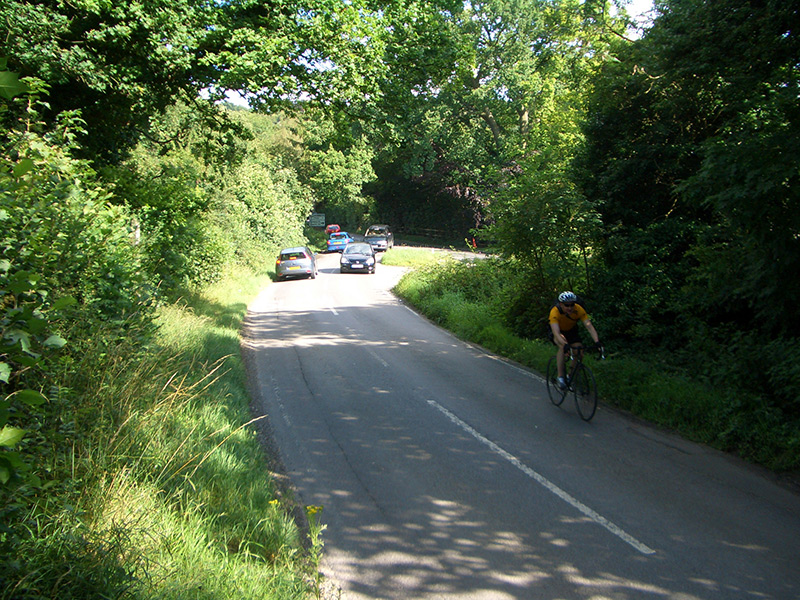
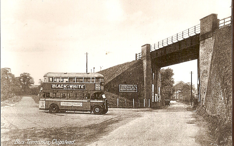
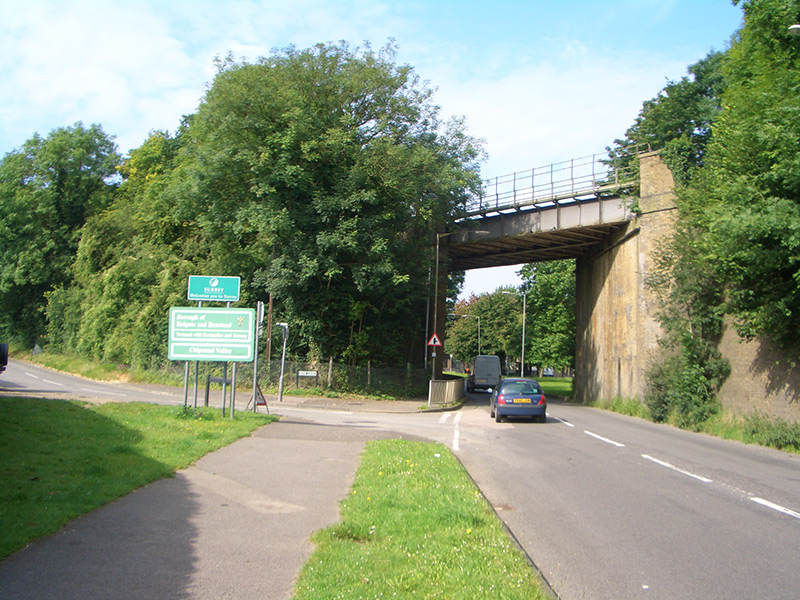
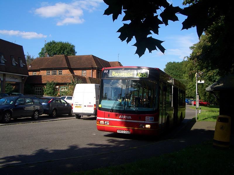
The 1905 photograph of Chipstead railway station shows the open field at what is now Lackford Road, and before the development of Station Approach. The 1907 photograph shows a distinct lack of trees and other obscuring vegetation. The 1930 photograph shows the ‘bus terminus and turning point for services into Croydon, which has now moved across the road to a ‘bus stop outside the Midday Sun public house. The 166 service is the only surviving scheduled service into Chipstead.


The Star Inn

The Star Inn on the Brighton Road, Hooley, 1975. The left section dates from 1775, and the right from 1825
Site of the former Star Inn on the Brighton Road,  Hooley, 2007
Site of the former Star Inn on the Brighton Road, Hooley, 2007

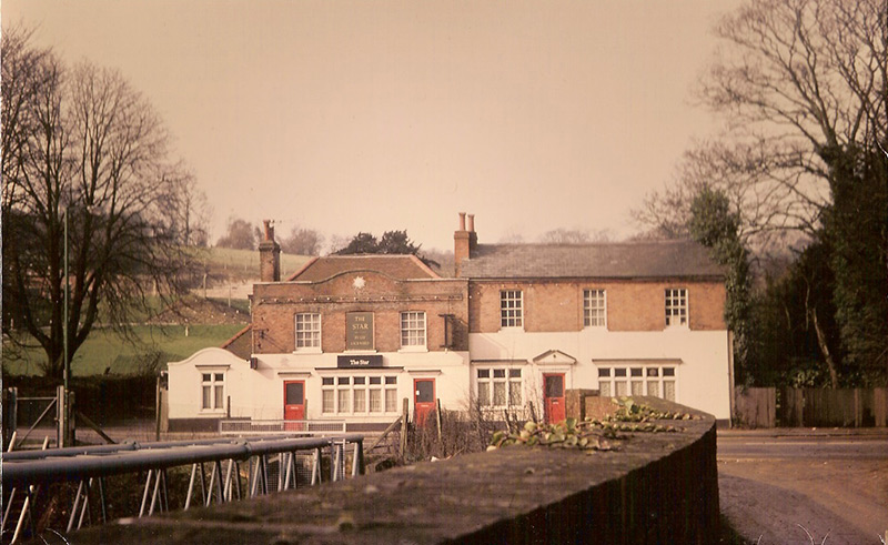
The Star Inn was a historic public house on the Brighton Road located at the junction with Netherne Drive. It is marked on the Tithe Map of 1847. It was demolished in 1978 to allow for the widening of the Brighton Road.